Stop Guessing. Start Exploring.
Plan the ultimate 1,300-mile road trip around the world’s largest freshwater lake without the overwhelm.
The Planning Struggle
Planning the Lake Superior Circle Tour is a massive undertaking. You are looking at crossing international borders, driving through three states and one province, and navigating endless options for hikes, historic sites, and campgrounds.
It is easy to spend hours spiraling down internet rabbit holes, wondering: Am I trying to do too much? What if I miss the best stops? How long does it actually take to drive the Canadian North Shore?
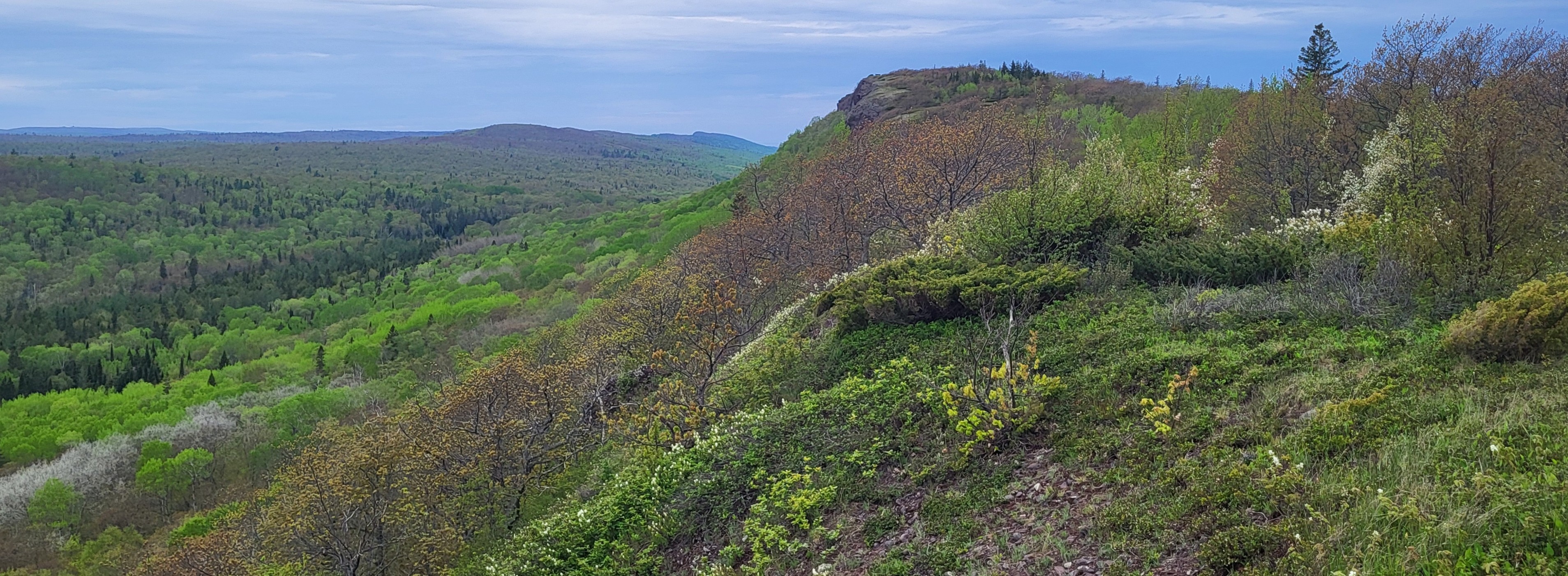
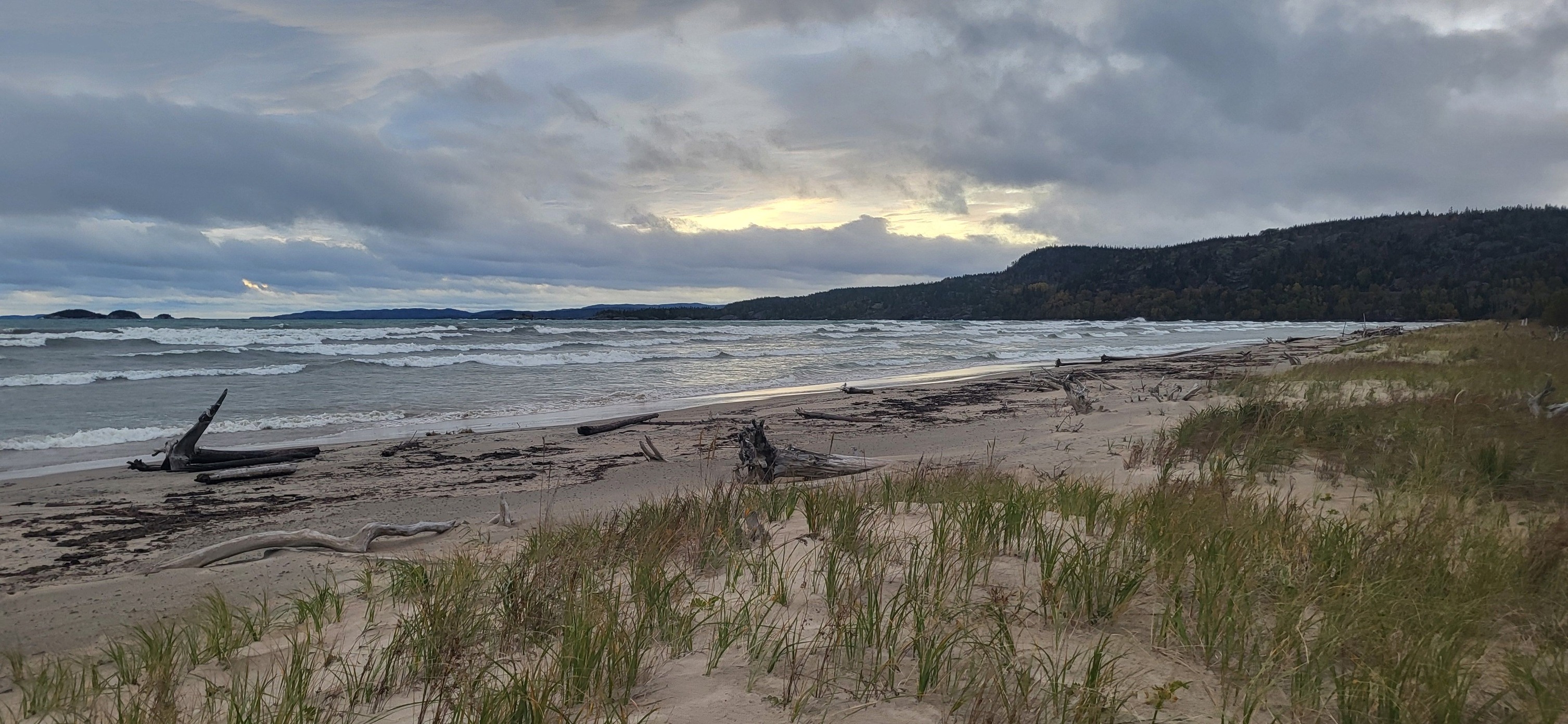
You don't just want to drive the highway. You want to understand the landscape, uncover the history, and experience the Big Lake the way it was meant to be experienced.
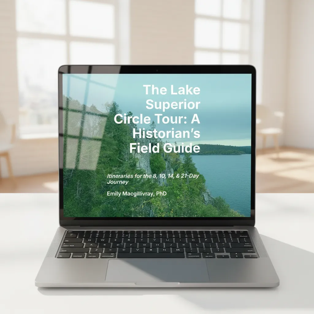
Enter The Lake Superior Circle Tour: A Historian’s Field Guide
This isn't a list of GPS coordinates. It is a 200+ page comprehensive digital guidebook designed to help you read the landscape and connect with a billion years of geology and centuries of human history.
Whether you have one week to see the greatest hits or a month to slowly immerse yourself in the North, this guide provides the exact framework you need. I've designed it to be the guide I wish I had when I was planning educational Circle Tours for college credit.
This guide will equip you with what you need to stop looking and starting seeing.
Choose Your Perfect Pace
Inside, you’ll find four meticulously crafted, day-by-day itineraries tailored to your travel style:
The Sampler (8 Days): The "Greatest Hits." A driving-heavy trip to see the iconic sights.
The Explorer (10 Days): The "Deep Breath." A relaxed pace with time for longer hikes and watching the waves.
The Expedition (14 Days): The "Storyteller." The ideal balance of scenic stops, museum visits, and local culture.
The Immersion (21 Days): The "Local." The ultimate slow-travel experience with built-in "zero days" to rest and explore hidden gems.
What Makes This Guide Different?
As you drive, you’ll be accompanied by custom educational features so you actually understand what you are looking at:
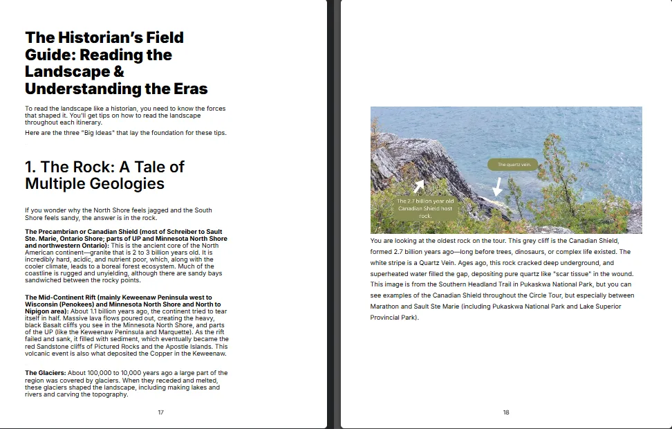
An Introduction to Understanding the Landscape and Historical Eras that Shaped the Region: Grounded in research, but explaiend in a way that's engaging and easy to understand.
⛰️ Reading the Landscape: Easy-to-understand geology lessons breaking down the Midcontinent Rift, the Canadian Shield, and why the cliffs look the way they do.
🕰️ The Historian’s Lens: Stories connecting the scenery to the people who shaped it—from Anishinaabe trade routes to the booming commercial fishing and mining industries.
🏕️ Customization Guides: Tips specifically tailored for RVers, rustic campers, and avid hikers.
Campsite Guides: Understand what's available and when you need to book.
🍔 The Directory: Curated, no-nonsense recommendations for the best local eats and places to sleep.
🎁 BONUS: Your Digital Toolkit
When you purchase the Field Guide, you'll have the option to up grade and get instant access to digital companions designed for the passenger seat:
The Master Google Map: A custom, interactive map featuring every stop, hike, and waterfall, color-coded and layered by itinerary. Plus, a special layer just for gas, groceries, and medical stops!
The "Superior Vibes" Playlist: A curated Spotify soundtrack of local artists, Great Lakes vibes, and roadtrip classics perfectly tuned to your drive. This playlist also includes a curated selection of podcast episodes for you to listen to on your drive and enrich your journey. There's even a Google Map layer with suggestions on where to listen to each podcast.
Meet Your Guide
I am Emily Macgillivray, PhD. I was born and raised in Thunder Bay, Ontario, and now live in Bayfield, Wisconsin. I have spent over a decade researching, publishing, and teaching about the Great Lakes. I created this guide because I wanted to offer travelers a more meaningful, deeply rooted way to experience the Circle Tour—one that goes beyond just snapping a photo and moving on.
Not ready to pack your bags just yet? Join me on Substack or Facebook!
Questions? Email me!
Ready to hit the road?
Get instant access to the PDF Field Guide, the Master Google Map, and your Digital Toolkit.
Due to the digital nature of this product, all sales are final. Your download link will be emailed to you immediately after purchase. If you don't see the email, please check your spam folders.